

Projects
Current
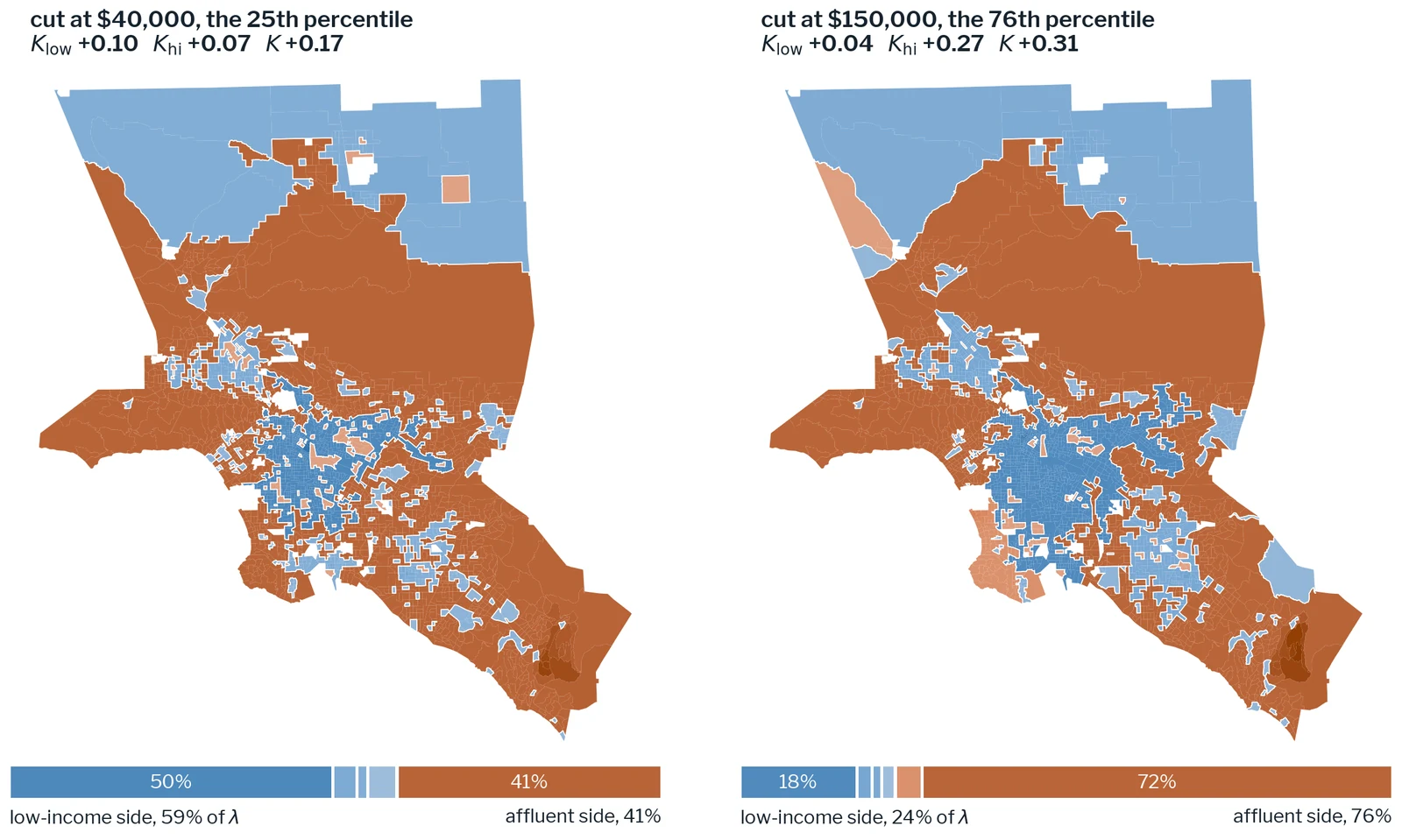
A Spatial Concordance Index of Income Segregation
A new spatial segregation index that locates where in a region's income distribution its geography is most organized.
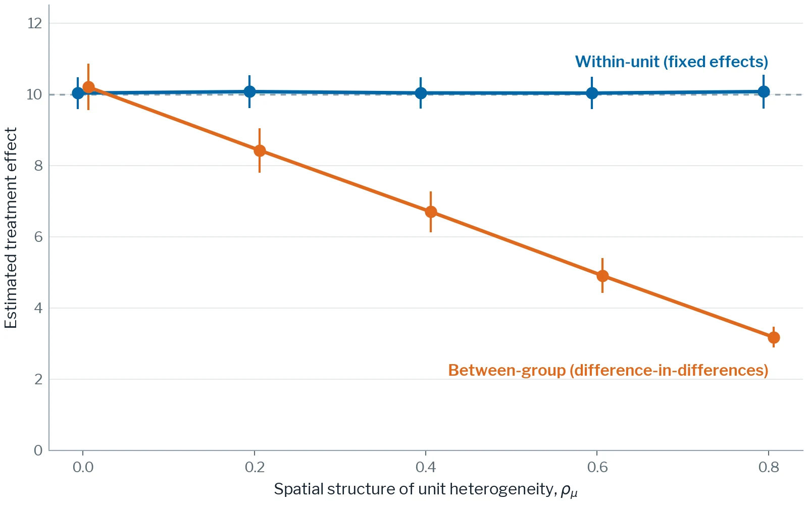
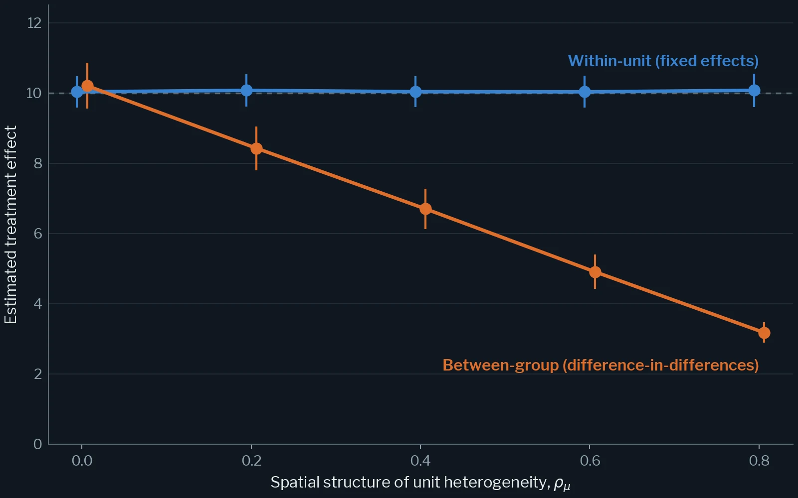
Space Is Not a Control Group: Quasi-Experimental Design in the Presence of Spatial Dependence
Why difference-in-differences cannot recover the effect of a treatment defined by location, and the spatial fixed-effects design that can.
Journal of Regional Science, under review
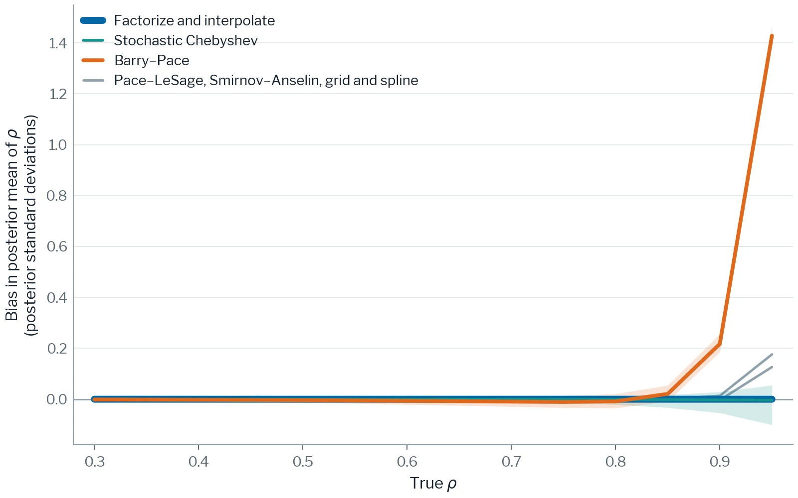
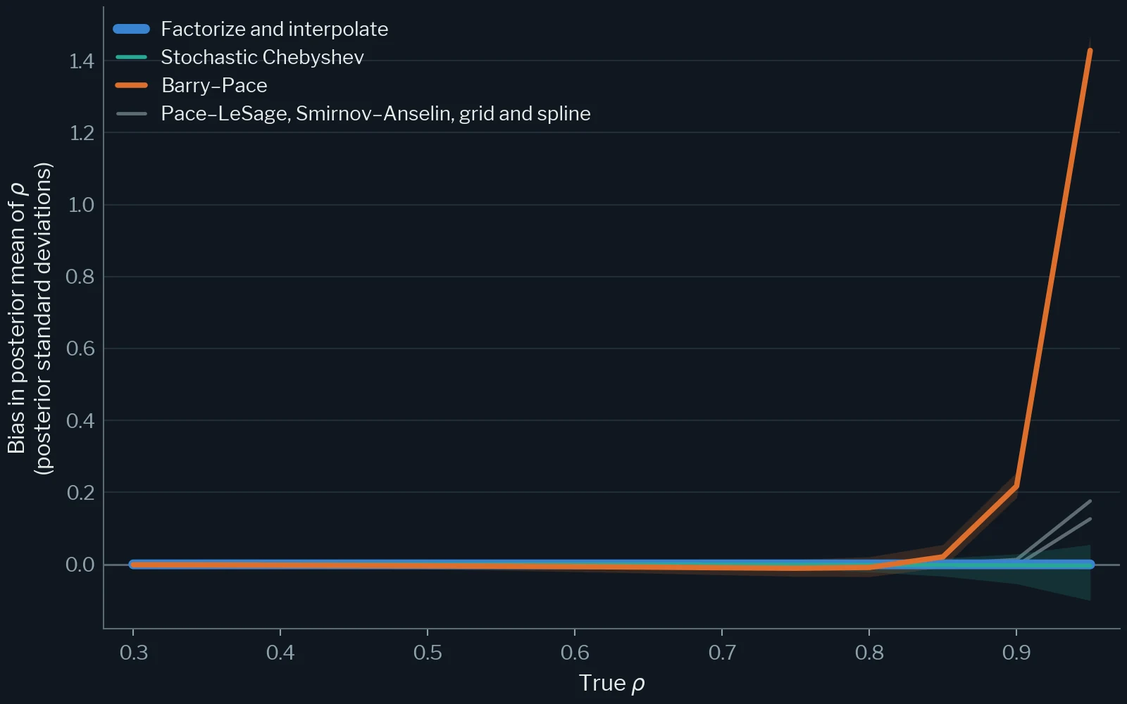
Fast and Unbiased Log-Determinants for Large Spatial Autoregressive Models
Log-determinant methods that make Bayesian spatial autoregressive models fast and unbiased at the scale of every U.S. census tract.
Journal of Geographical Systems, under review
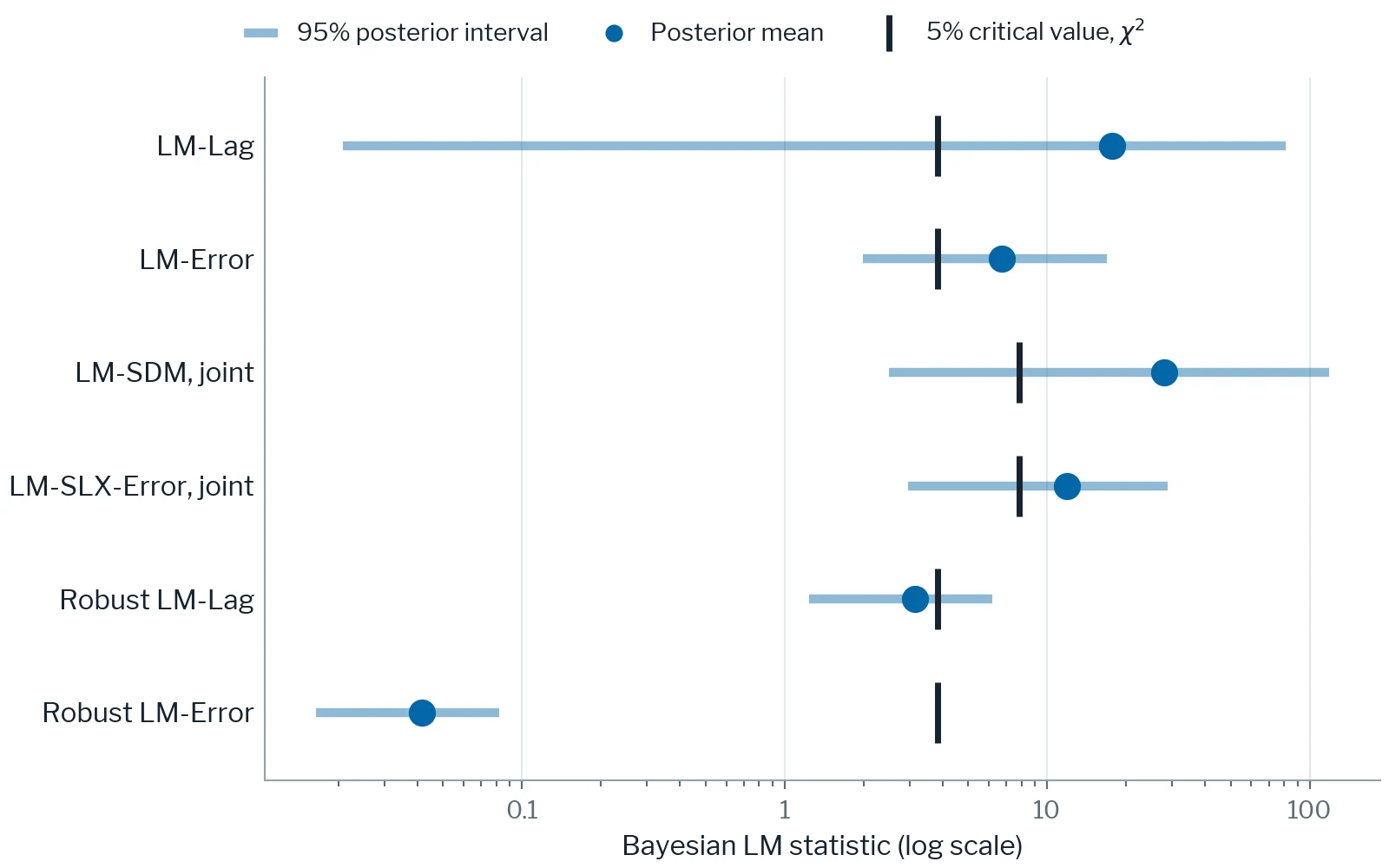
A Bayesian Lagrange-Multiplier Framework for Spatial Cross-Section, Panel, and Flow Models
Bayesian counterparts of the Lagrange-multiplier tests that spatial econometrics uses to choose a specification.
Spatial Economic Analysis, forthcoming
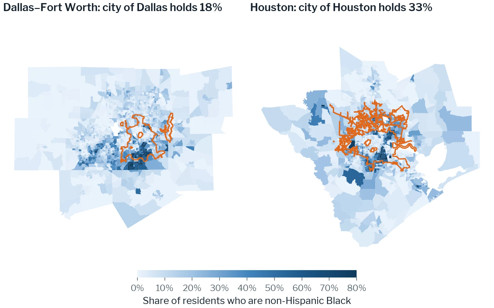
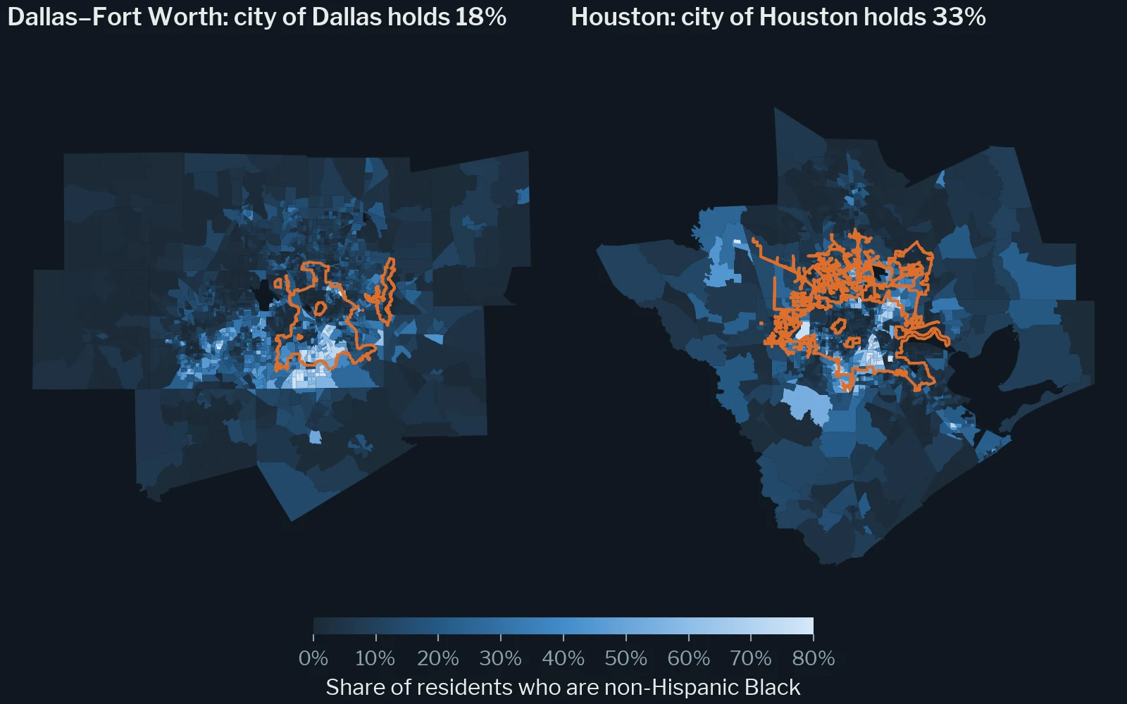
Zoning and Segregation in Principal Cities and Suburbs: Another Look at the Examples of Houston and Dallas, Texas
Houston's lack of zoning is the standing natural experiment in land-use scholarship; re-run the comparison inside each metropolis, principal city against suburbs, and the answer changes.
Annals of Regional Science, under review

2024–2027
An Open-Source Ecosystem for Spatial and Urban Data Science
Long-term viability for an open-source ecosystem for spatial data science, with PySAL at its core.
NSF POSE Phase II, award 2345820
Completed
2014–2016
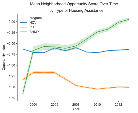
Modeling the Geography of Opportunity for Fair Housing Policy
Opportunity models behind HUD's evaluation of the Baltimore Housing Mobility Program and the Baltimore regional plan.
HUD
2021–2025
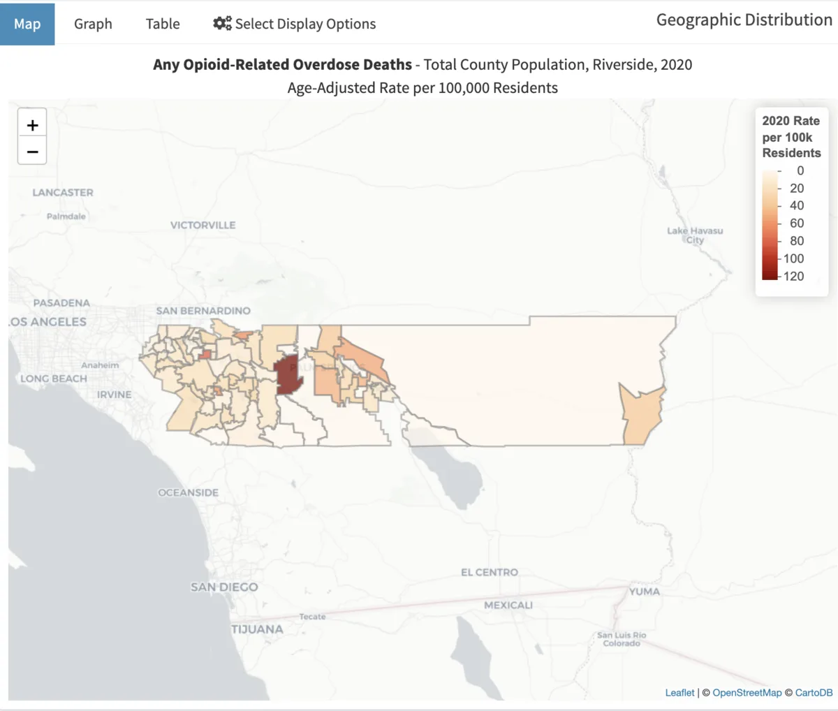
Opioid Overdose Disparities in Inland Southern California: Ethnography Meets Advanced Spatial Analytics
Ethnography and spatial data science on where and why fatal overdoses occur in Riverside County.
NIH / NIDA, award R21DA054611
2020–2025
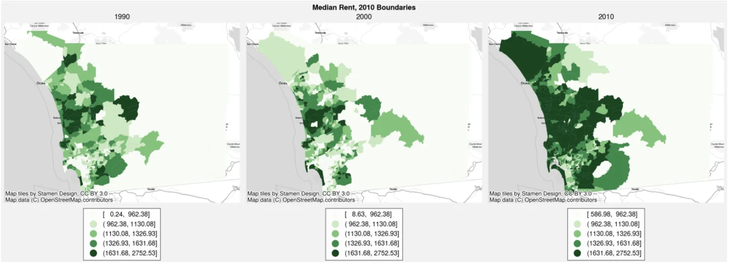
Neighborhood Influences over the Life Course: Families, Twins, and Spatial Contexts
High-resolution neighborhood data joined to a thirty-year study of twins, siblings, and families.
NIH / NIA, award 2R01AG046938
2020–2024
geosnap4ed: Neighborhood Analysis in Education Research
Neighborhood analysis methods for education research, delivered through geosnap.
Bill & Melinda Gates Foundation, INV-024366
2023–2024
Proof-of-Concept Land Value Models: A Spatial Econometric Approach
A spatial Durbin approach to estimating land value from property sales, with a proof of concept in Baltimore City.
Robert Schalkenbach Foundation